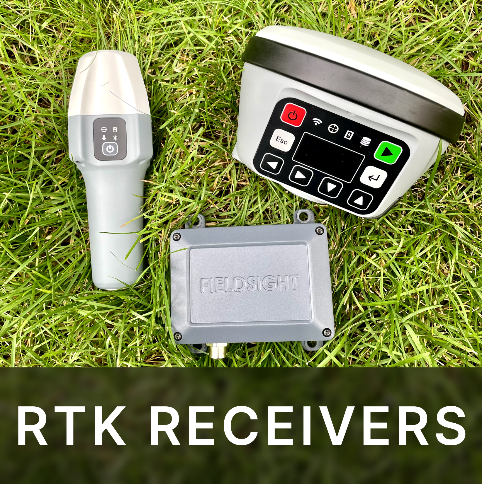
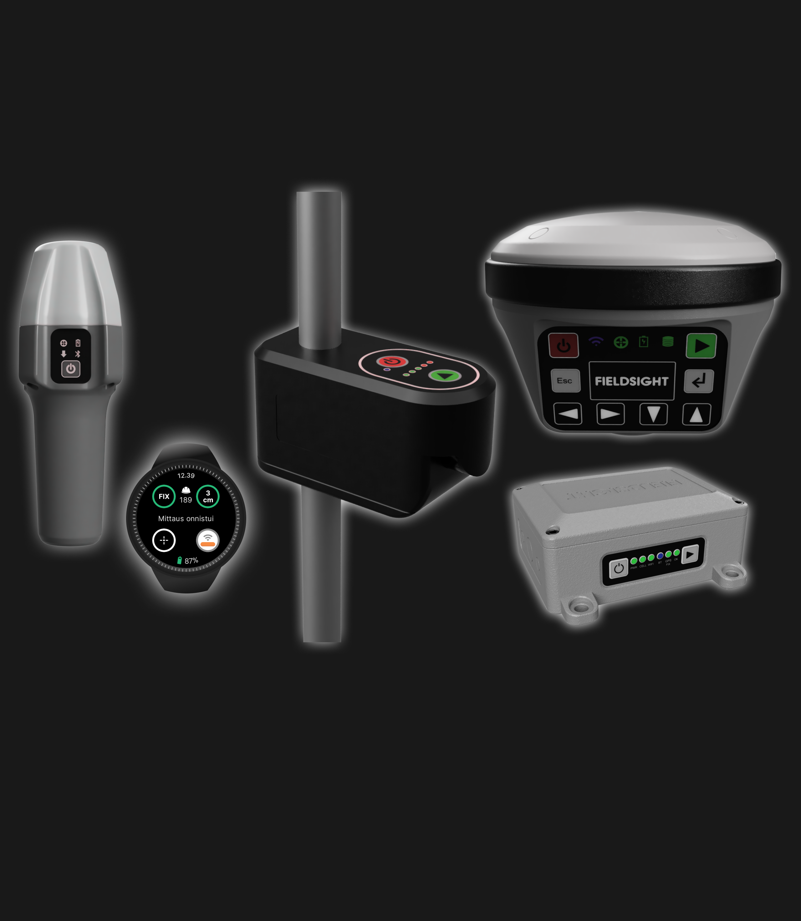
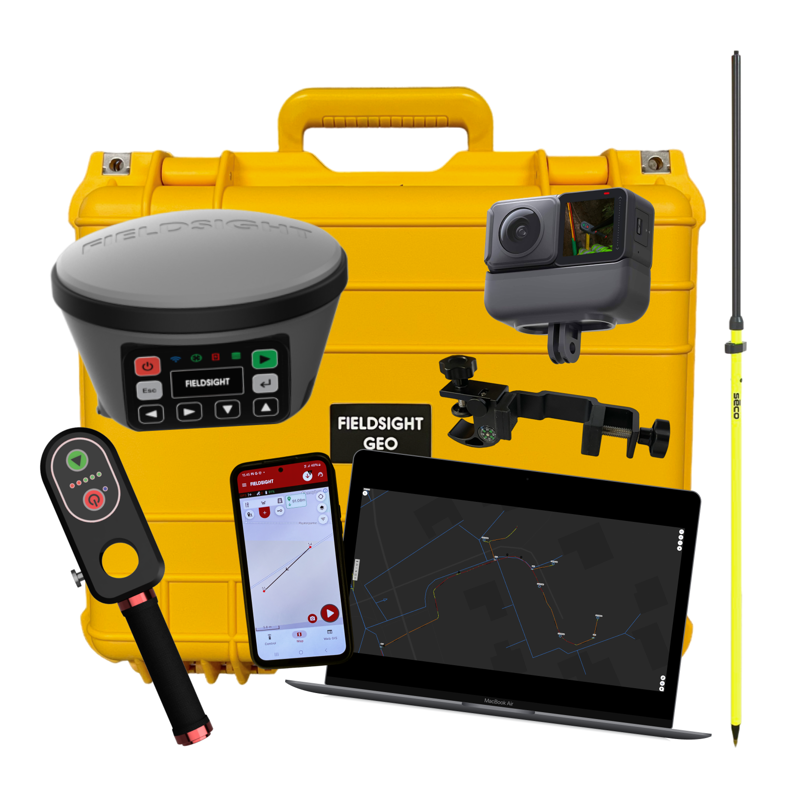
- RTK receiver
- 360 camera
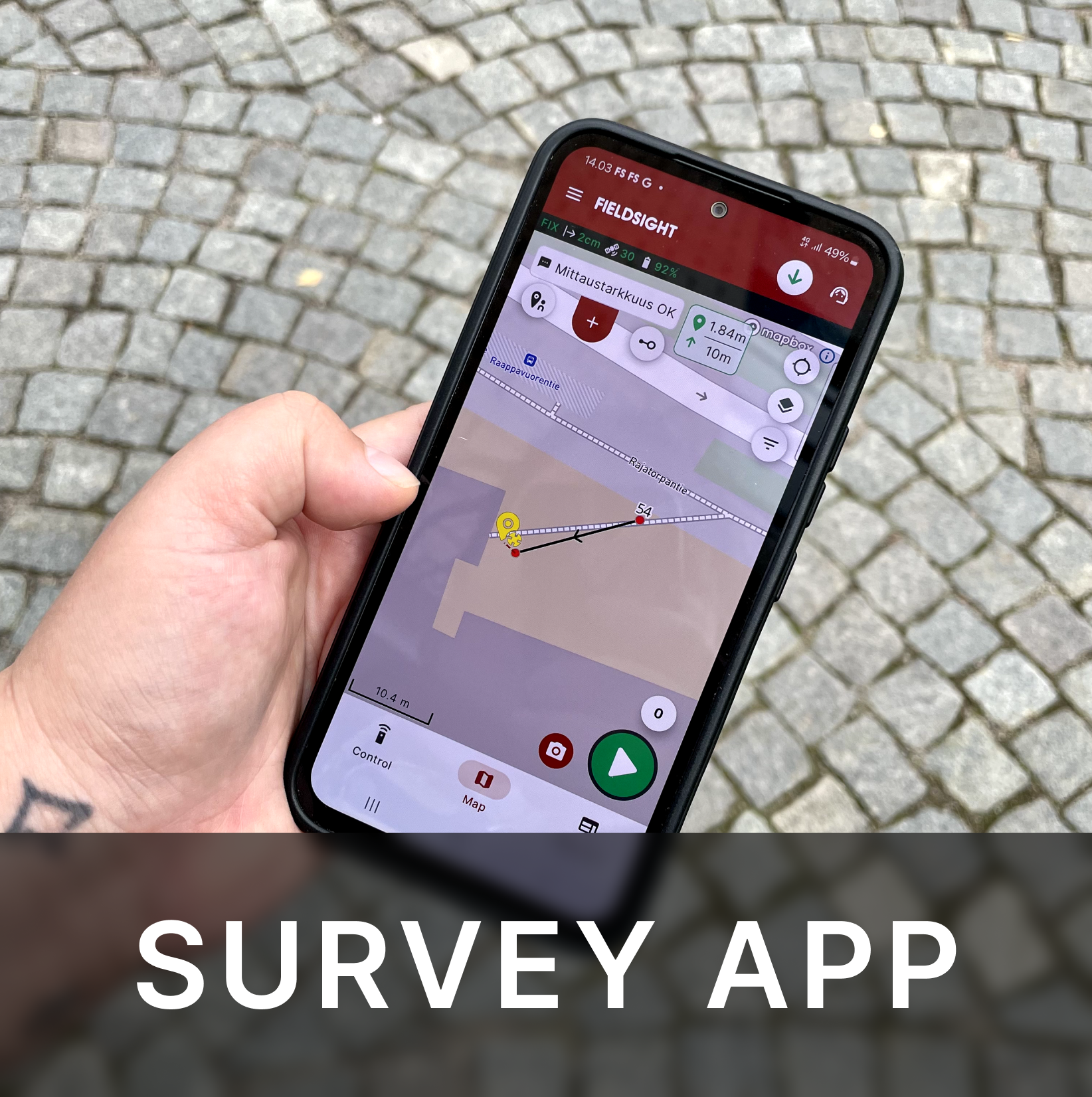
- Phone with Fieldsight® Survey App
- Geo-stick
- Phone Holder
- RTK License
- Depth Measurement Tool
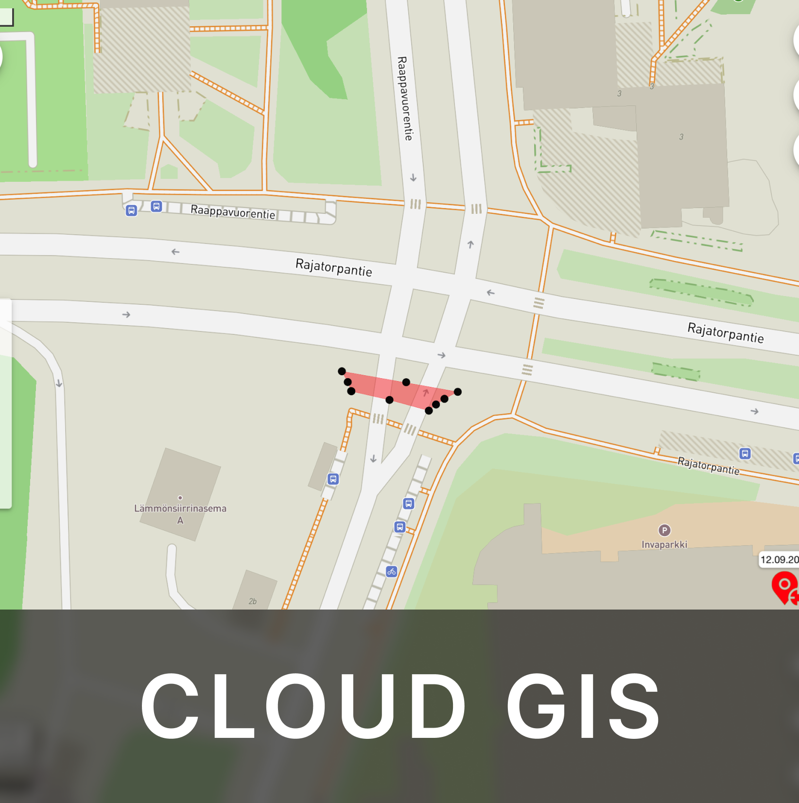
- Cloud GIS
Digital solution for significantly enhancing the process and quality of network construction
Industries
Geo-Spatial Products and Information Services
Fieldsight® Subscription
Why choose the Fieldsight® solution?
Save in project travel costs
Check the quality of work remotely in real-time using camera or 360-degree photos from each survey point
Support many survey styles
Fieldsight supports variety of survey styles and approaches for your and customer needs. You can use survey models from on-hand, GPS-stick, Y-pod, cable radar to integration with excavator. You can easy swap subscription packages and are not locked-in to 1 survey model
Easy to use
Fieldsight solution is designed for field workers from the beginning, so it’s easy to use. Anyone can use it without prior survey experience.
Save in documentation costs
Document projects faster with our CLOUD GIS data analysis and join tools. Import 3rd party data, master routes and push data directly into customer network information system (NIS)
Improve team performance, streamline processes and save cost

Fieldsight® simplifies real-time documentation. It ensures high-quality work, minimizes quality issues, and speeds up invoicing with complete digital records

Fieldsight® allows easy mastery of geo-information and document networks. This ensures effortless access to project data and seamless integration of survey information

Fieldsight® enhances efficiency with real-time project monitoring. This reduces site visits and verifies contractor reports, ensuring timely delivery within budget

Fieldsight® reduces business risk by ensuring quality, meeting project schedules, and adhering to budgets. This leads to on-time delivery and improved customer satisfaction
Our products
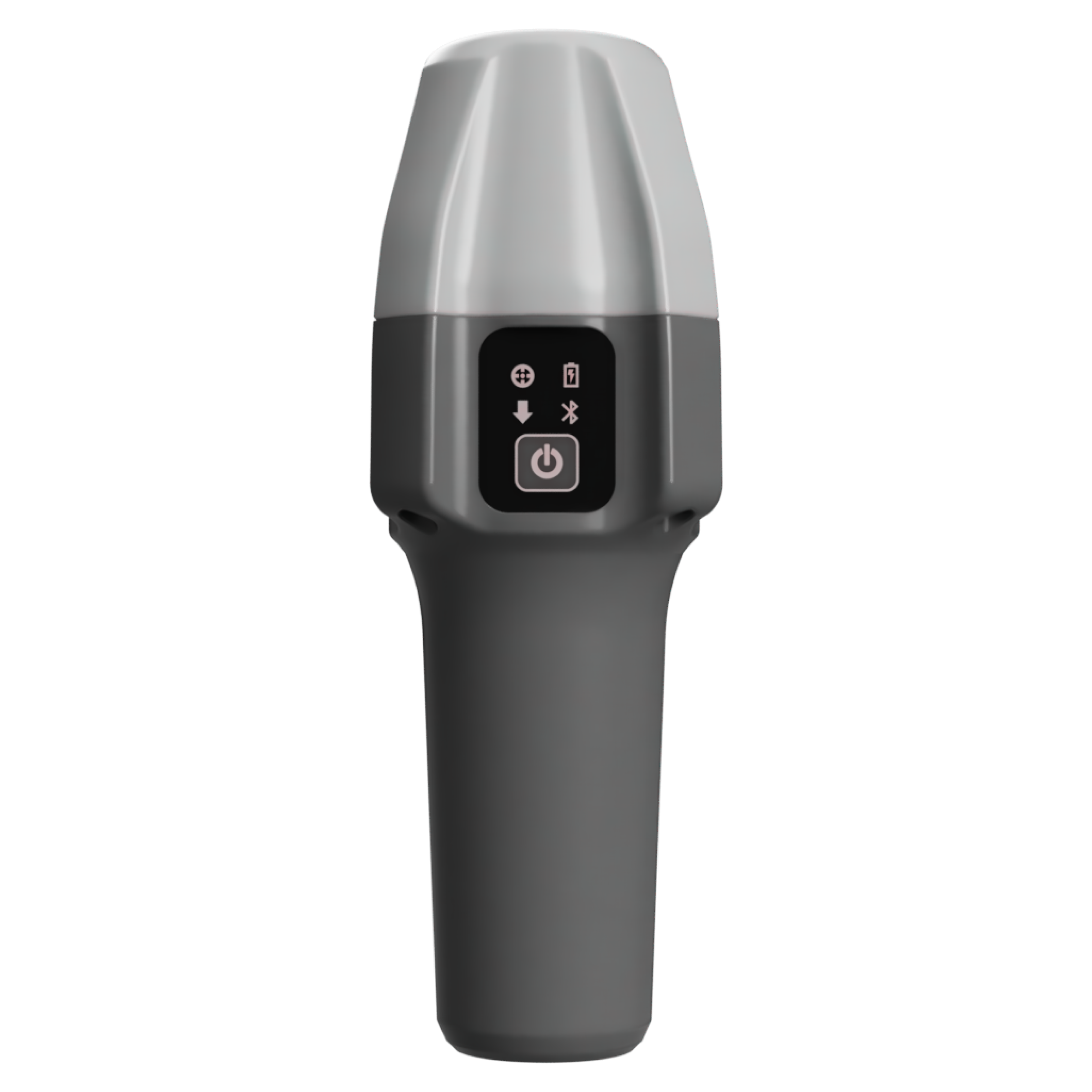
GND is your pocket-sized mapping solution
Applies:
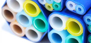
- Cable trenching
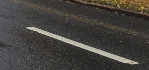
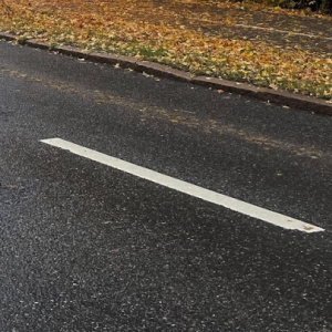
- Asphalt measurements
- General infrastructure survey
GND is perfect for mapping fiber optic and electrical cables. It can be used handheld, with a GPS stand, or with a geostick. It is compatible with the Fieldsight® Survey App and supports AI machine vision
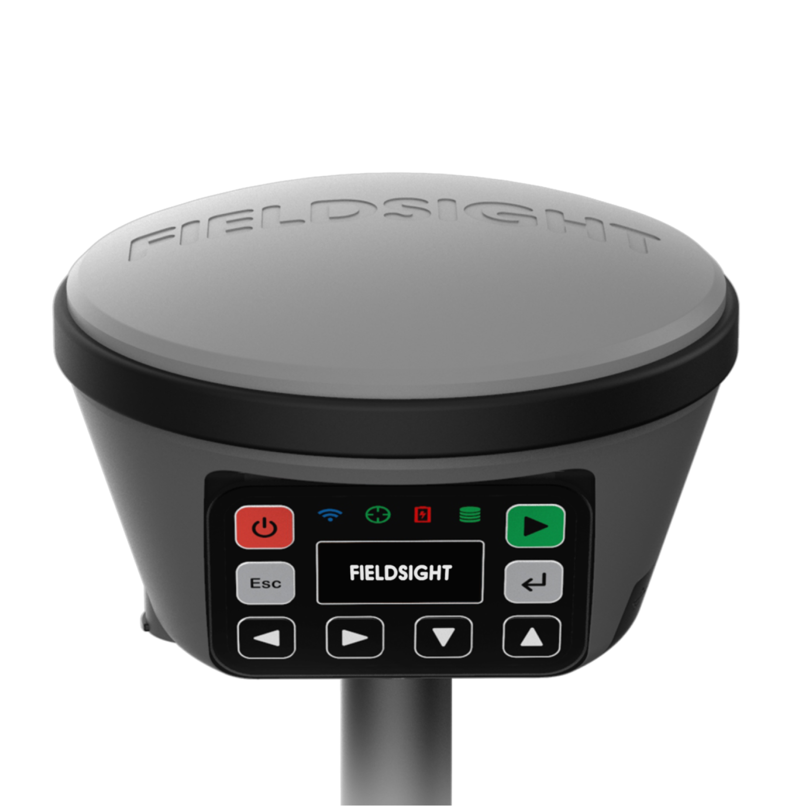
GEO is your measuring tool for harsh conditions
Applies:
- Cable trenching
- Asphalt measurements
- General infrastructure survey
GEO is a mapping tool designed for challenging environments, such as fiber optic and electrical cable mapping. It supports integration with cable radar systems and is compatible with the Fieldsight® Survey App, as well as add-ons like a 360-degree camera, Depth Handle, and Lidar
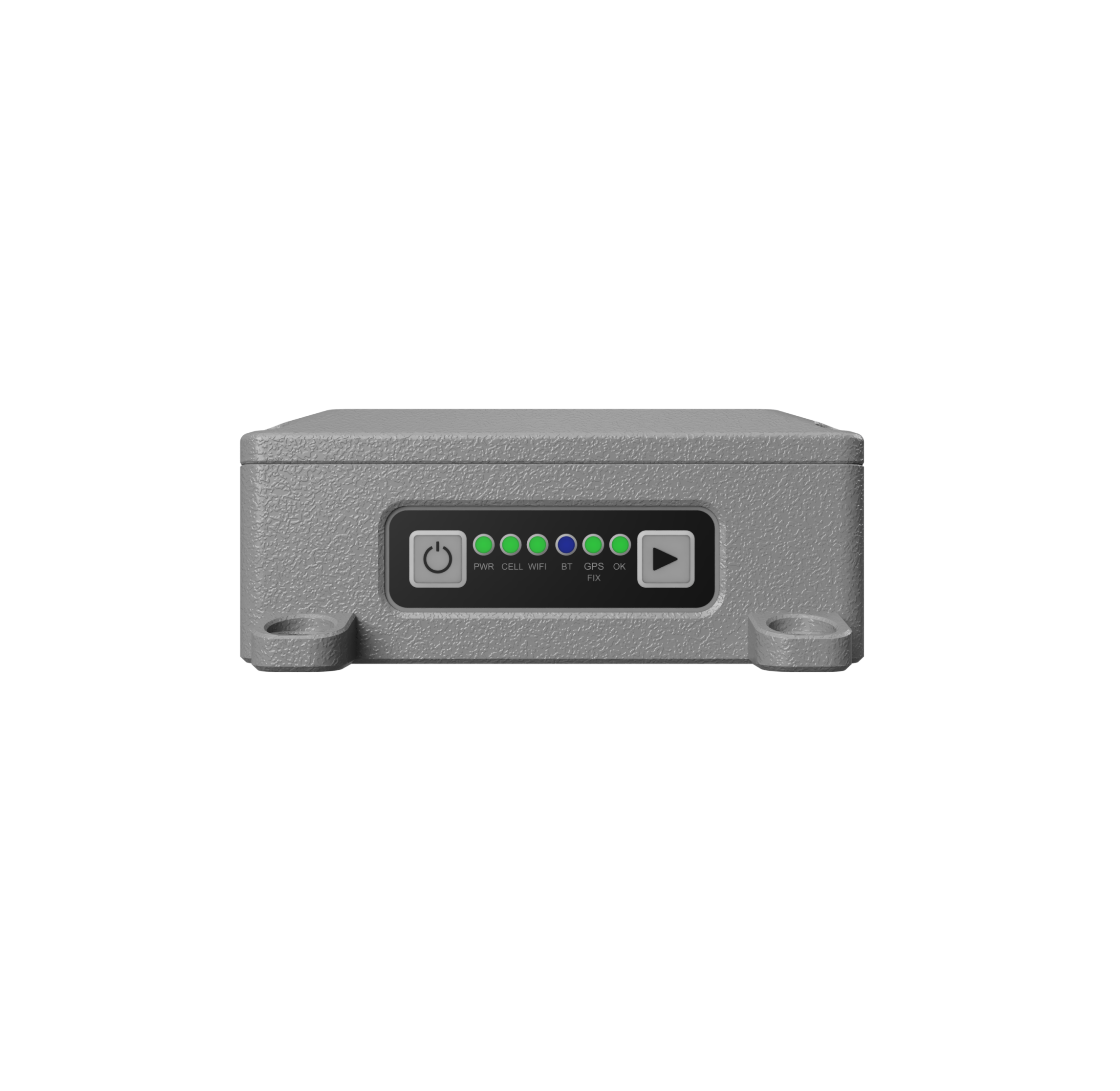
GW is ideal for vehicle positioning and excavator mapping
Applies:
- Cable trenching
- Maintenance trains
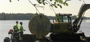
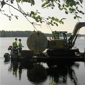
GW is ideal for as-built cable mapping and documentation using excavators. It integrates with excavator joysticks for easy measurements. This tool is perfect for tracking moving machinery, such as maintenance train equipment
Use-cases
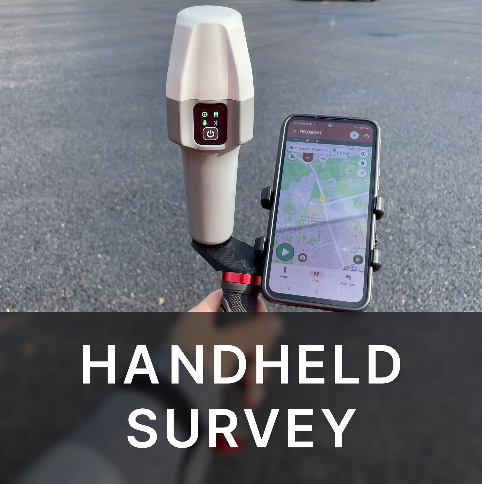
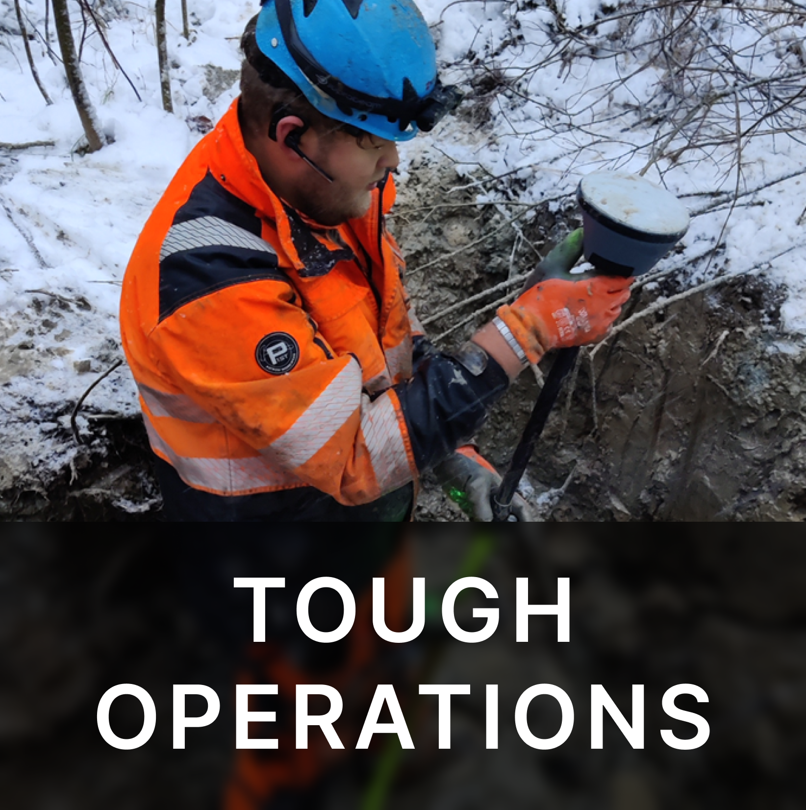

It comes with the Fieldsight® Survey app and GIS software
What our customers say
«Fieldsight GEO enables quality assurance of network construction in a new way, as the location and depth data of the cables can be measured from the open trench during the work, meeting the precise requirements of Caruna and the authorities (e.g. Traficom).
The easy-to-use product helps workers to achieve better quality by documenting work progress and content in real time. The cost-effective and accurate solution enables significant improvement and speed-up of the overall process, bringing cost savings throughout the supply chain.»

Jukka Haakana
Quality manager, Caruna
«Fieldsight GND has transformed how we measure complex, freeform areas like irregular asphalt surfaces with sharp corners and slopes. Unlike traditional methods, which are bulky, time-consuming, and require extensive training, this solution is light, modern, and easy to use. It eliminates the need for pre-work and calculations, letting us start measuring right on-site, saving us significant time and effort»

Hannu Johansson
Good’s inspector
Check out our news
Stay Ahead with Our Updates!
No Spam! Only
New Features and Updates
Blog Updates
Exclusive Offers and Discounts
Educational Resources and Tips
Case Studies and Success Stories

