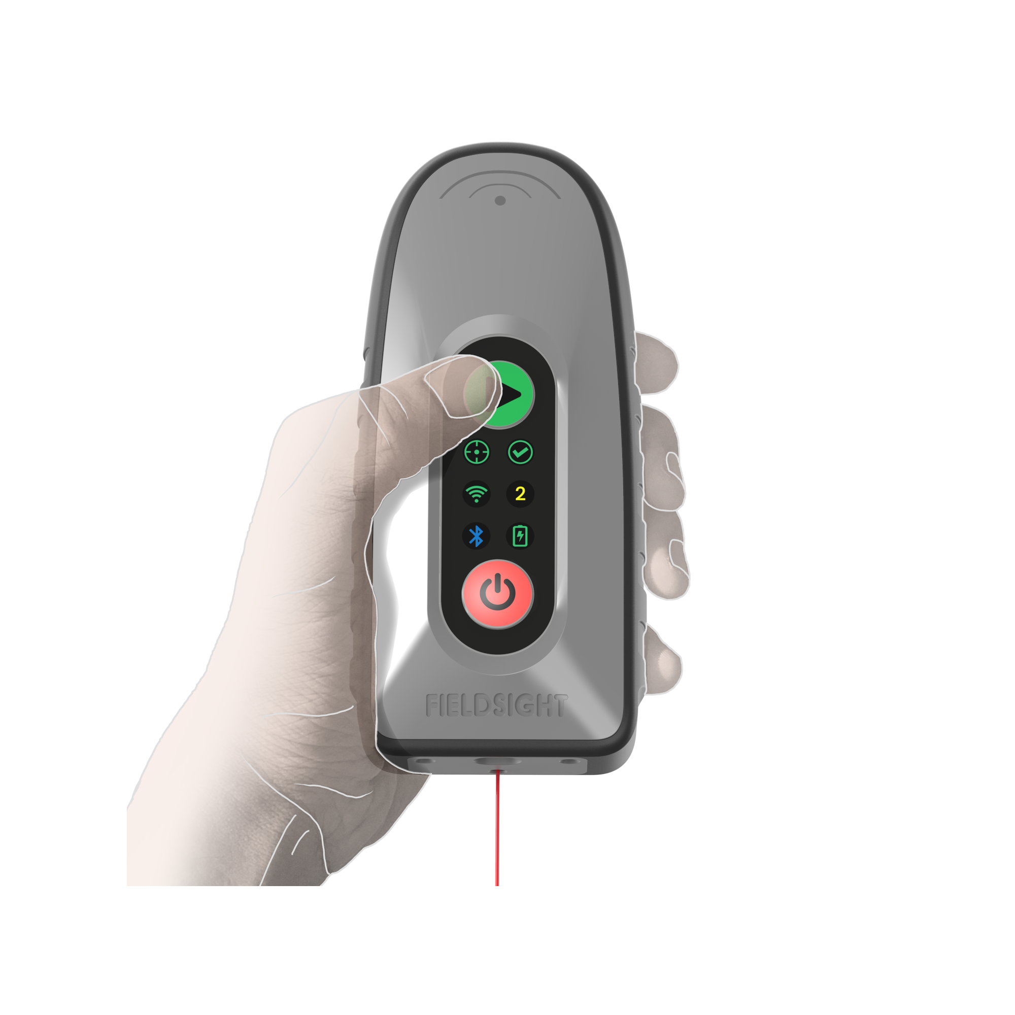
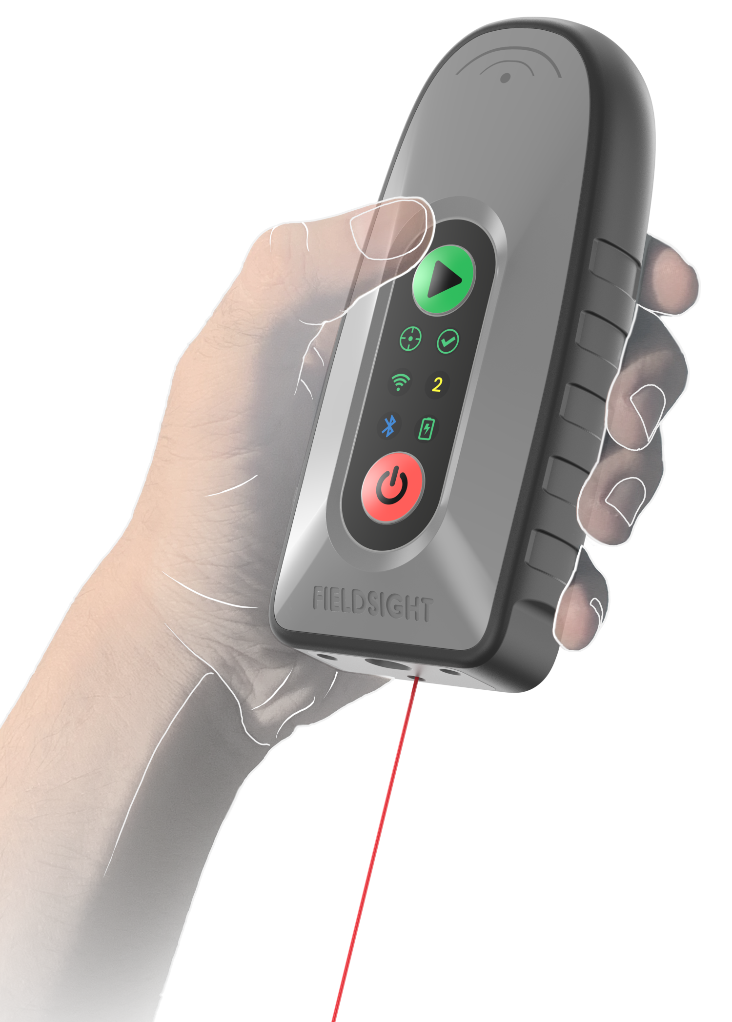
Fieldsight® Locator - New multi-purpose product for high-precision survey needs
Fieldsight® solution continuously introduces new innovation for any construction project digitalization needs. One of our radical innovations for year 2023 is the new Fieldsight® Locator product, which is pocket size multi-purpose high-precision survey device.
Fieldsight® Locator is equipped with simple user interface, making it easy for any field employee to measure high accuracy geo points just with a one button press. The product includes new distance laser technology for millimeter precision. The small product size and the new laser technology makes it possible to do geo survey without carrying large case and GPS survey stick along also taking a lot of space from a car trunk. The product ships out with standard GPS stick adapter for users who want to continue surveying with the standard stick based approach. For laser based measurements device has inertial unit to read device angles and lock-in only stable measurements.
We also introduce new measurement configuration toggle by using hand gestures, which is handy feature for project having mainly few type of measurements.
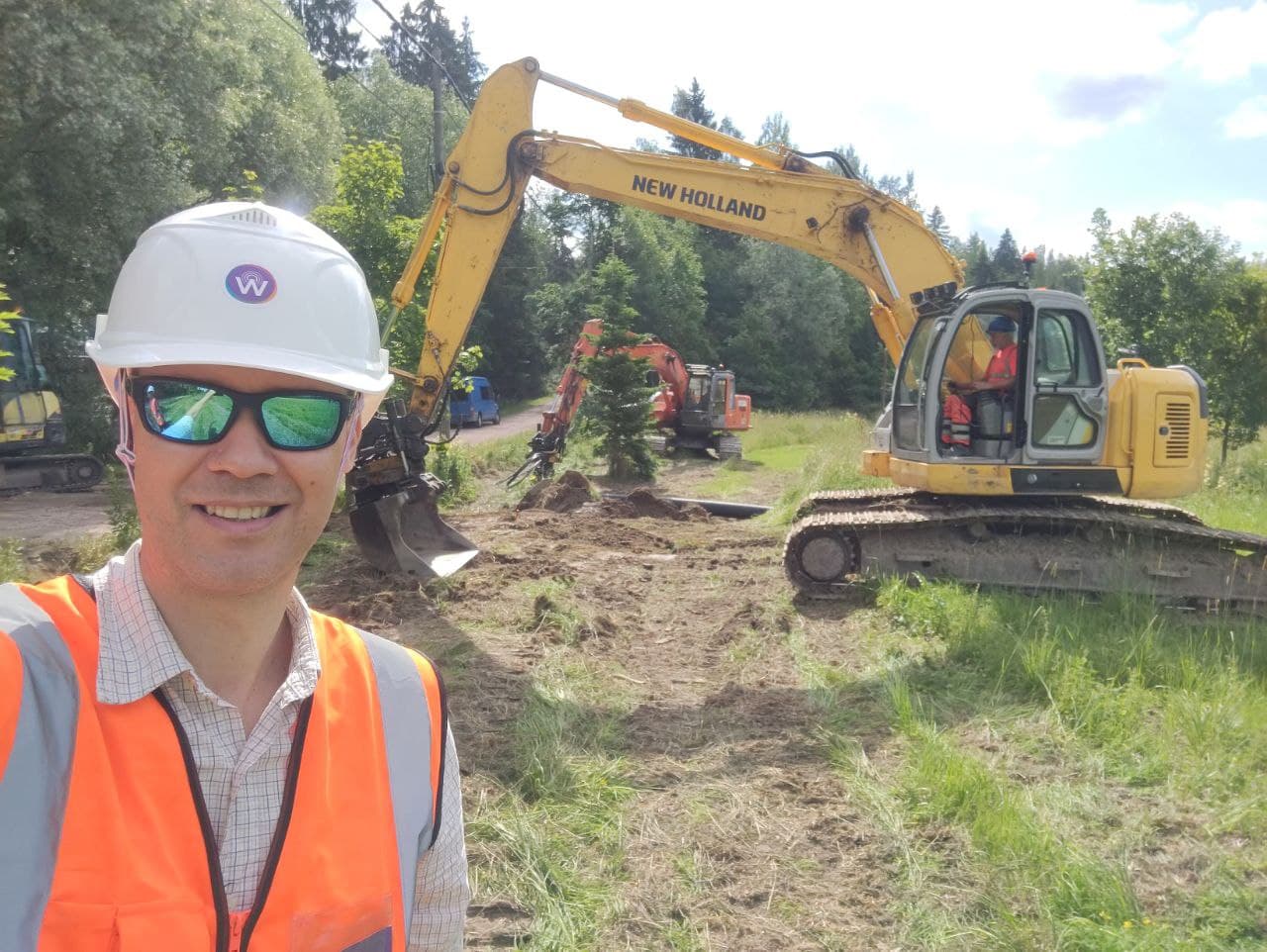
All Fieldsight products are designed and manufactured in Finland.
The product is configured using completely new Fieldsight® FieldApp, which is available to download from the Android Play store. The FieldApp support is introduced also for all Fieldsight series of products running 2023 software (GEO, LOCATOR and RTK GW). It enables easy configuration of field projects and device settings using Bluetooth. Users can initiate measurements remotely from the application, start and stop cable ploughing measurements etc.
Fieldsight® products are designed for harsh operating environments, where network coverage may be poor or non-existing. For these survey conditions we introduce add-on feature, which is secondary source of correction signal – satellite correction reaching < 10 cm accuracy. Satellite correction (offline survey) can be used in environments where cellular connetion are not available or breaking up frequently. By default each Fieldsight product use 4-satellite system RTK correction service, reaching 1-2cm precision. Satellite correction option is supported by all new Fieldsight products.
Fieldsight GIS (2023)
Along with other new devices and firmware updates for 2023 we also introduce new real-time geographical information system (GIS) interface for web, Fieldsight GIS. This completely renewed UI introduces fast processing capabilities to present large data sets such as city electricity network routes shown on a mobile phone browser. The GIS also fetches land owner property boundaries automatically to the map. The new interface has all previous cool features such as 360 degree photo on-site site view etc.
Flexible survey styles meeting surveyor and customer requirements
Fieldsight Locator supports variety of survey styles, which comply customer requirements with easy usability and accuracy requirements. Taking measurements is as fast as you want them to be, you can survey by stopping to each geo point or survey-by-walking.
Supported survey styles examples:
- Survey with GPS stick (traditional)
- Survey without GPS stick using distance laser (new)
- Survey by walking using the gps or selfie stick (for example for network planning)
- Automatic image collection of each geo point from mobile phone camera, 4k/360 camera
- Closed trench measurements using cable radar (post-installation survey)
- Open trench measurements
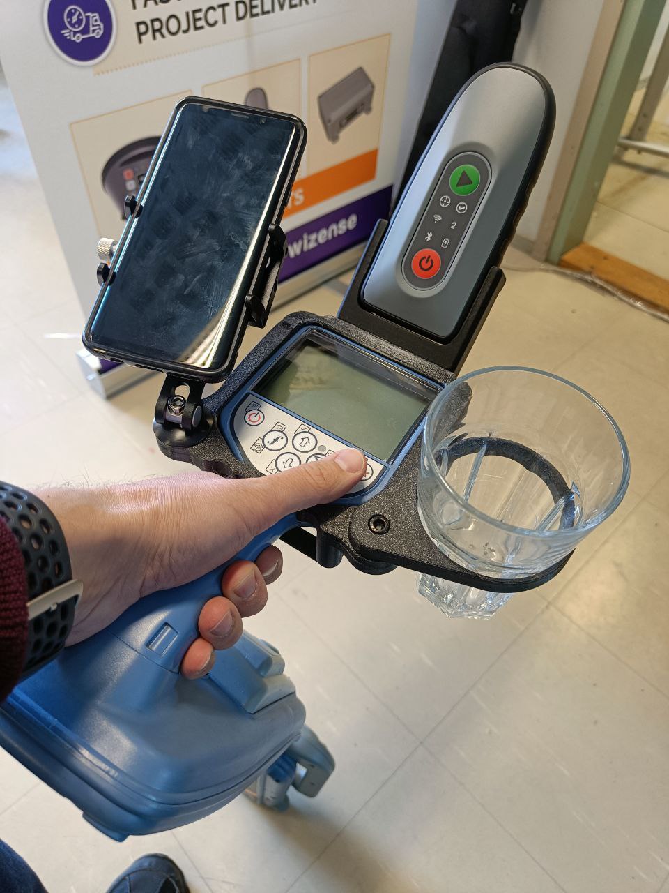
Best usability for cable radar survey
Fieldsight® GEO and Locator support smooth integration with Radio Detection cable radars. We development state of art mount for it to enable best field employee usability. It supports even coffee mug mount option :).
Via smooth integration, measurement is started automatically by triggering it from the cable radar depth measurement button. Data is real-time visible on the real-time gis and can be processed further into network databases.
Our solutions fulfills country based local legislation requirements such as Traficom M71 in Finland to collect cable depth information-
WANT TO INITIATE FIELDSIGHT TRIAL?
Contact us by sending a message from the form below or schedule a meeting!