


")
")
")

")
")

Transforming how industries document and manage infrastructure projects with turn-key solution
Innovating Geo-Positioning Solutions for Modern Infrastructure
How It All Started
Wizense Oy was founded in 2016 as part of the Microsoft Polku program. Initially, the company developed positioning solutions for industrial workers operating in harsh indoor and outdoor environments, partnering with global industry leaders. Soon, these solutions extended to industrial moving machines, high-precision positioning, and dead-reckoning for GNSS-denied environments.
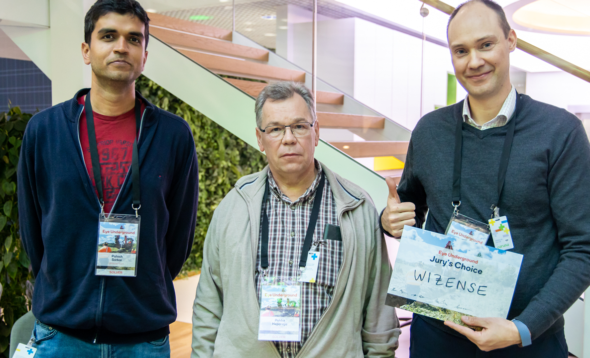
In 2019, the company won the Caruna innovation challenge, led by the largest electrical grid owner in Finland, by introducing new digital methods for positioning underground infrastructure cables during construction work. At the same time, the Finnish Communications Regulatory Authority introduced a local requirement for infrastructure documentation called the Traficom M71 regulation, which set standards for location and precision accuracies. Field employees played a critical role in positioning underground cables as built and documenting the work with images.
Since the challenge, the company has been developing the Fieldsight® branded solution for infrastructure and machine positioning.
Our Mission
For several decades, GNSS receivers have been expensive and complex, typically used only by professional surveyors. Companies are transitioning phase-by-phase into as-built infrastructure digital documentation and are continually seeking new benefits for their operations, integrating deeper into their subsystems.
Fieldsight® offers a turn-key solution that provides tools for field employees, prime contractors, planners, and documenters to document as-built work quickly, easily, and cost-efficiently, saving time during different project phases from planning to completion. With Fieldsight®, work can be completed faster and with higher quality than before. Our users, often field workers, have access to a variety of easy-to-use survey tools and methods to document work with high quality, meeting customer requirements.
Our Solutions
Our RTK receivers provide high-precision positioning for various applications, including land surveying and construction. Designed for ease of use and equipped with advanced technology, they deliver real-time measurements to enhance efficiency and accuracy in your projects
Cloud GIS is an intuitive admin panel that provides users access to their measurements. Users can view, process, and export data for documentation, streamlining project management and ensuring that all information is easily accessible and organized
The Survey App is included with your subscription, providing users access to powerful measurement tools on fieldsight. With an intuitive interface that can be customized to fit individual needs, it’s easy to learn and use—even for those without prior surveying experience
Our Vision
We bridge the latest technology in the positioning domain—RTK GNSS receivers, augmented reality, and artificial intelligence—into infrastructure construction to offer a low-cost turn-key solution that integrates real-time data from the worksite into business support systems for the infrastructure domain. This streamlines processes, saving project time and related costs.