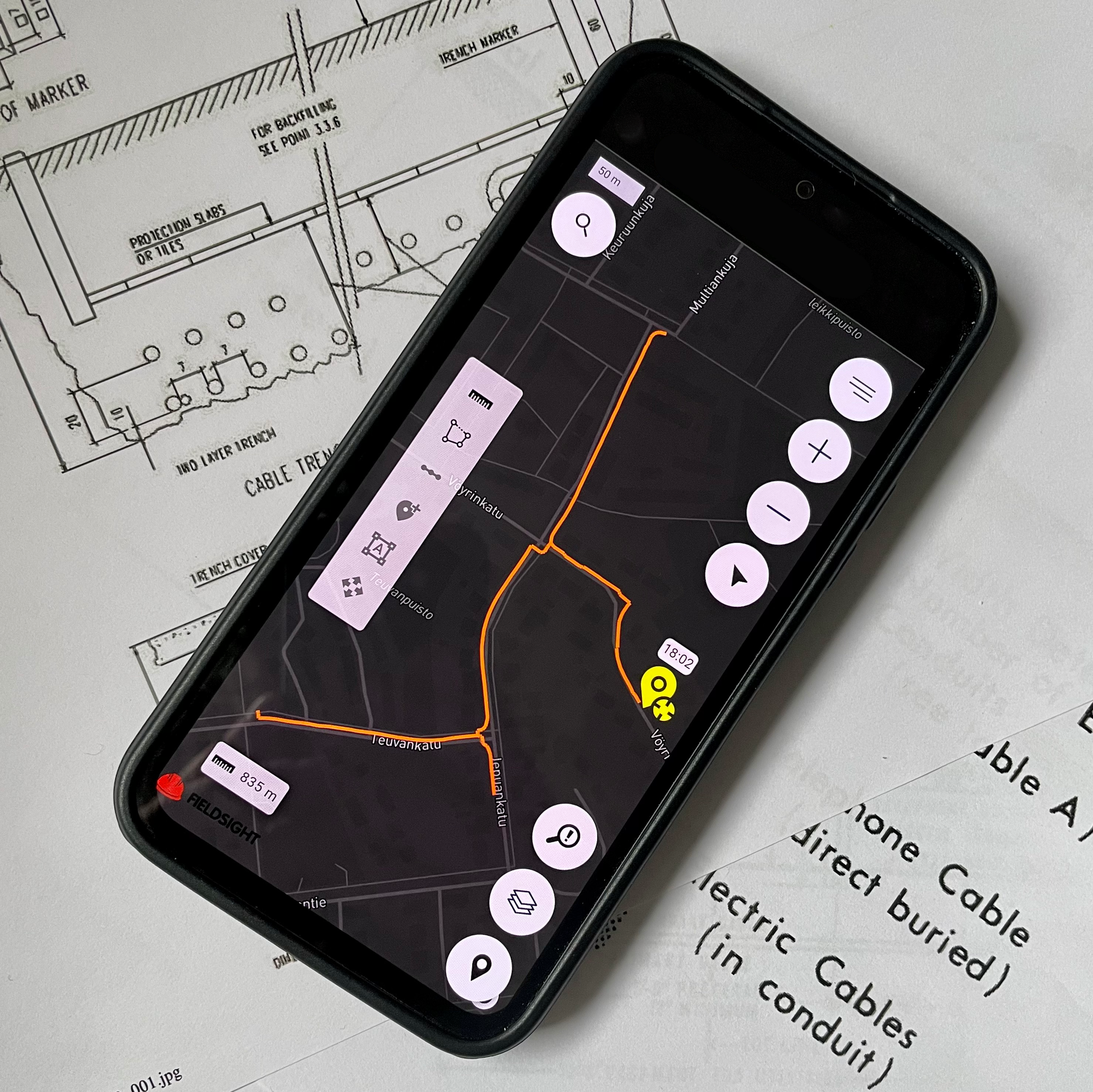
Fieldsight GIS is a user-interface to present project collected geographical information from the project.
Interface can be used with any web browser on mobile, tablet or desktop.
Fieldsight®
Cloud GIS
Real-time as-build view
Accessible on mobile, tablet, and desktop
Export to any format
Export as-built documentation seamlessly into DXF or any other format your company requires
Improve team performance, streamline processes and save cost

Fieldsight® simplifies real-time documentation. It ensures high-quality work, minimizes quality issues, and speeds up invoicing with complete digital records

Fieldsight® allows easy mastery of geo-information and document networks. This ensures effortless access to project data and seamless integration of survey information

Fieldsight® enhances efficiency with real-time project monitoring. This reduces site visits and verifies contractor reports, ensuring timely delivery within budget

Fieldsight® reduces business risk by ensuring quality, meeting project schedules, and adhering to budgets. This leads to on-time delivery and improved customer satisfaction
GIS Functionalities
Real-time situational awareness to projects via still or 360 images
Upload project documents and red pen markings
Export data to general file formats such as .dxf or .geojson or network owner formats
Present survey information the Cloud GIS
Support for different coordiante systems and geoid models
Survey using Fieldsight® devices or Import data from 3rd party devices
Integration directly to NIS systems such as KeyPRO Keycom
Correct collected information graphically or using ready available Wizards
Aggregate all the data you need in the field
No more papers!
Book a demo now


