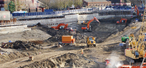
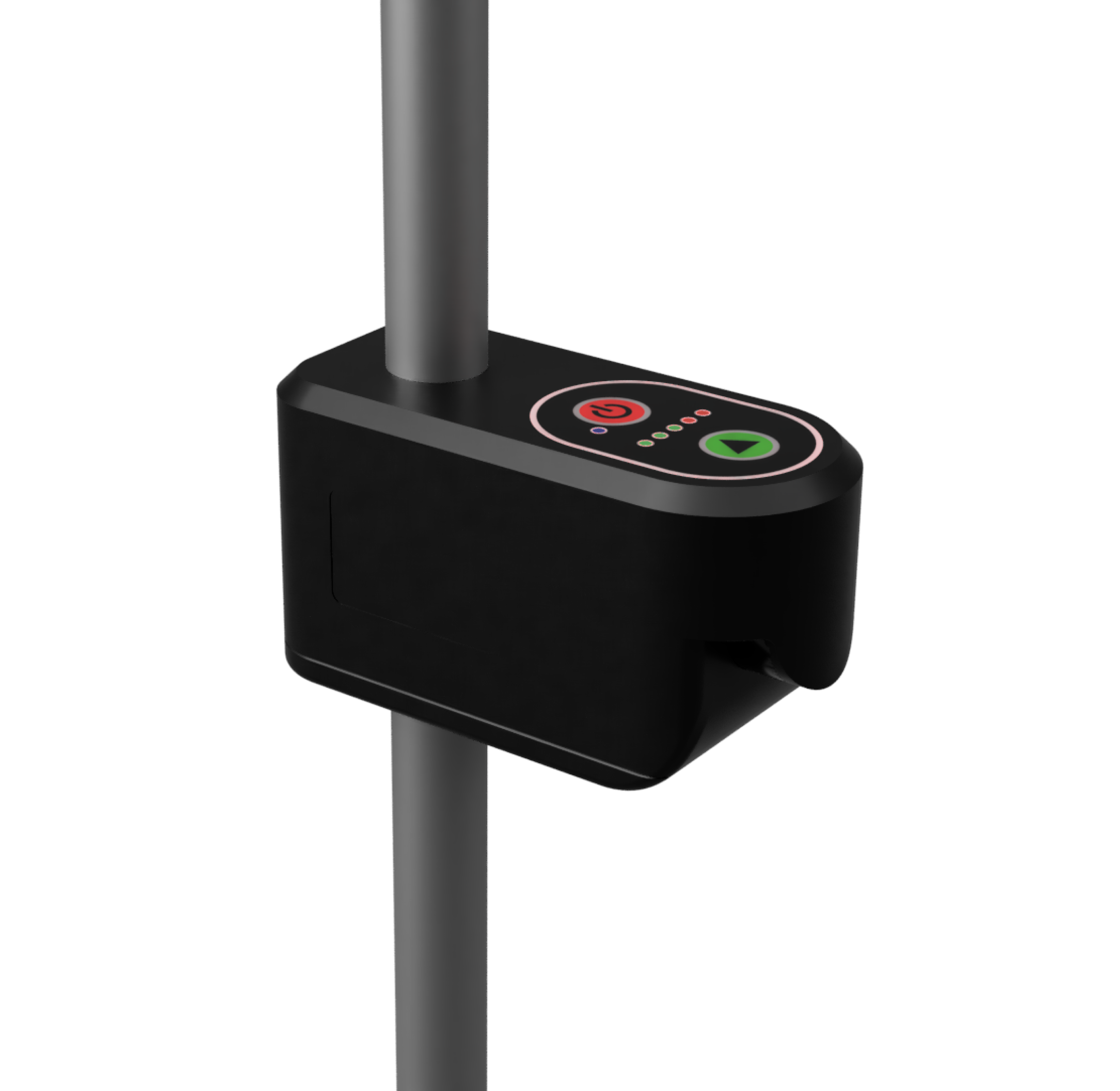
This product enhances trench surveying by providing quick, accurate measurements and ensuring high precision with the ability to capture detailed trench profiles. Would you like to explore its features further?
- Laser scanning of trench profiles
- Automatic ground level and depth detection using algorithms
- Depth verification as-built
- Trench profiles can be supplemented with photos
Traficom M71 compliant

