Fieldsight® GND
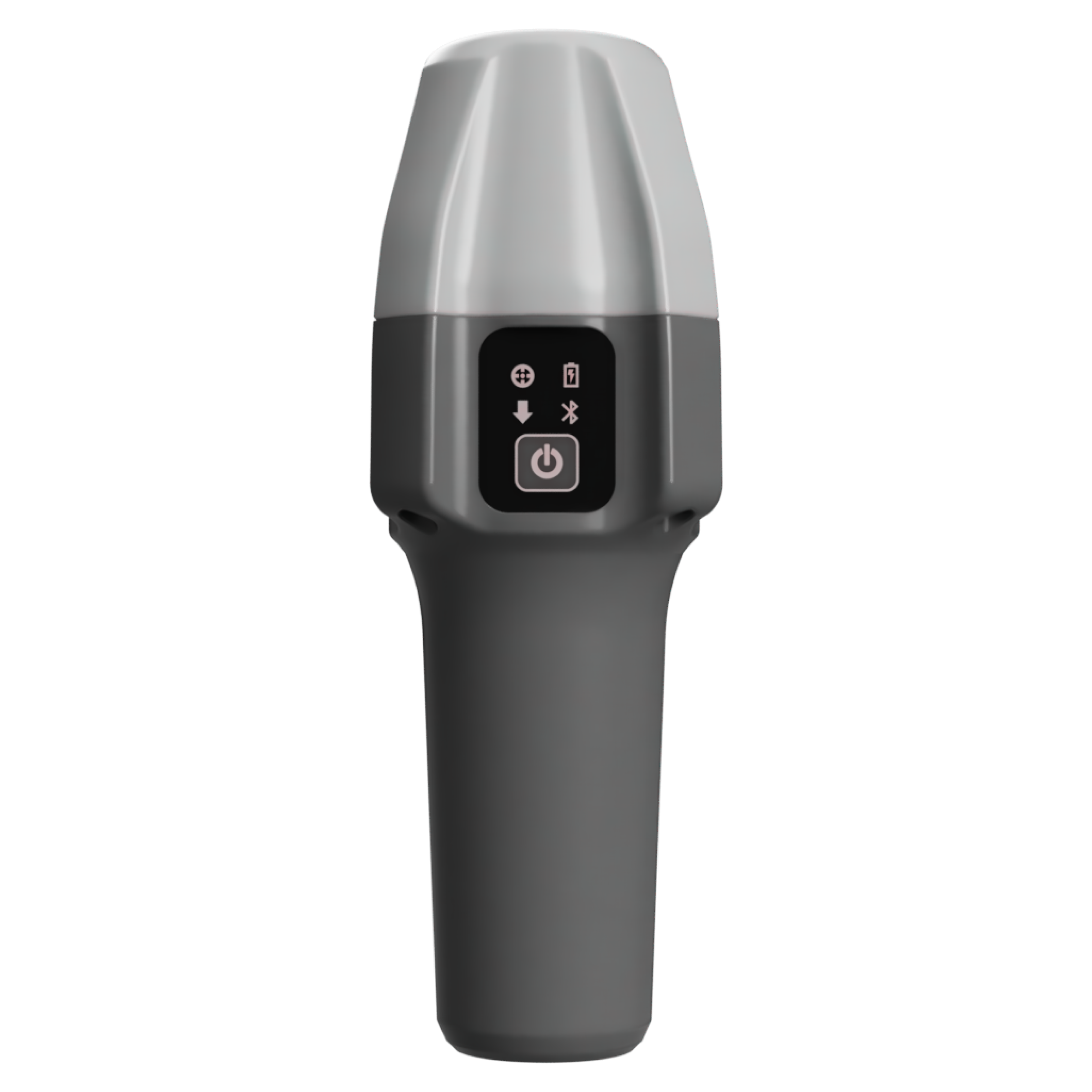
GND is precise, pocket size multi-purpose/use documentation tool. You can use device in survey stick, on-hand, with our Y-pod or mounted to cable radar.
Digital solution for significantly enhancing the process and quality of network construction

GND is precise, pocket size multi-purpose/use documentation tool. You can use device in survey stick, on-hand, with our Y-pod or mounted to cable radar.

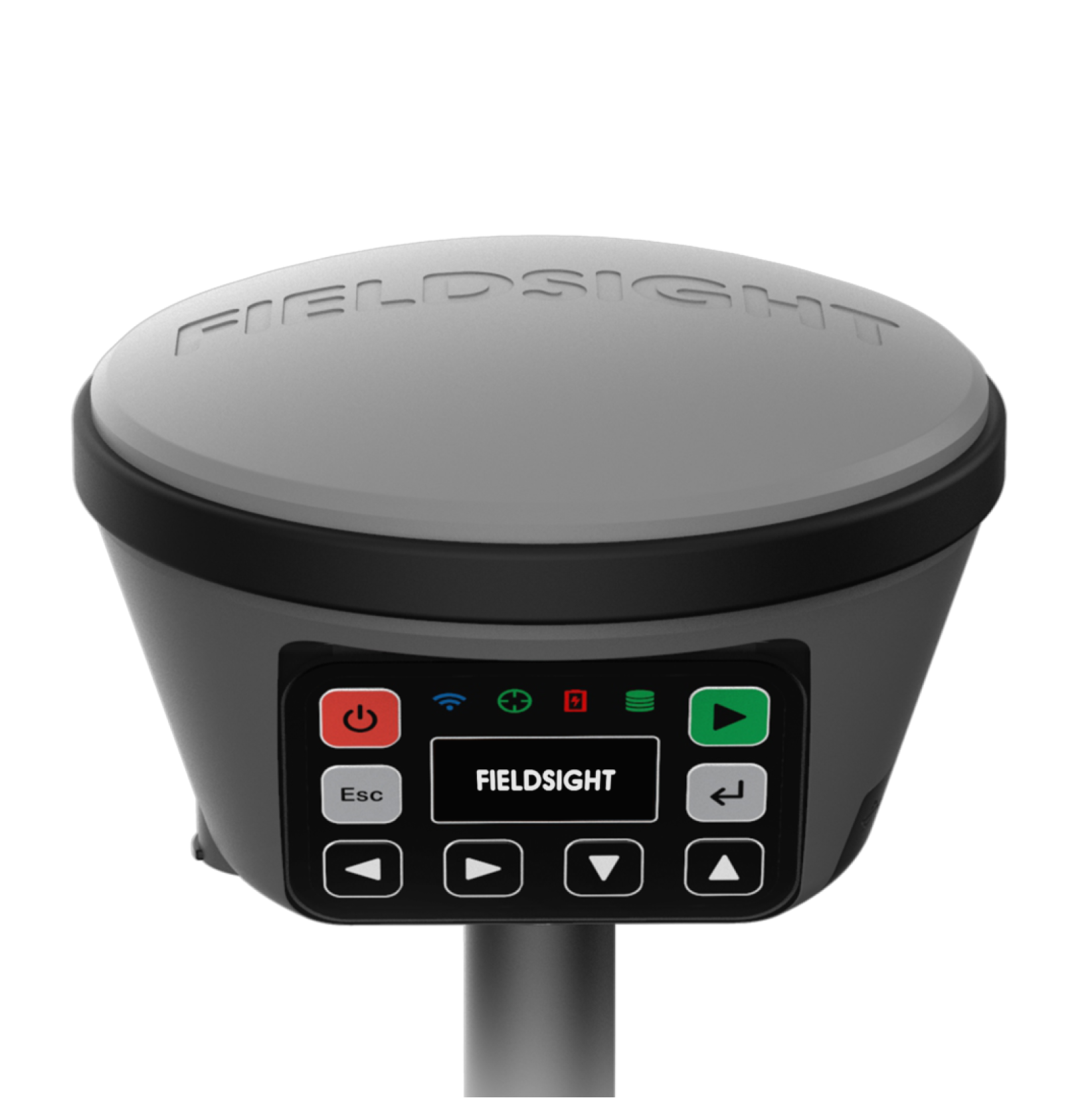
GEO is your solution for harsh environments requiring best accuracy and antenna performance. Works also in environments lacking good cellular network signal.

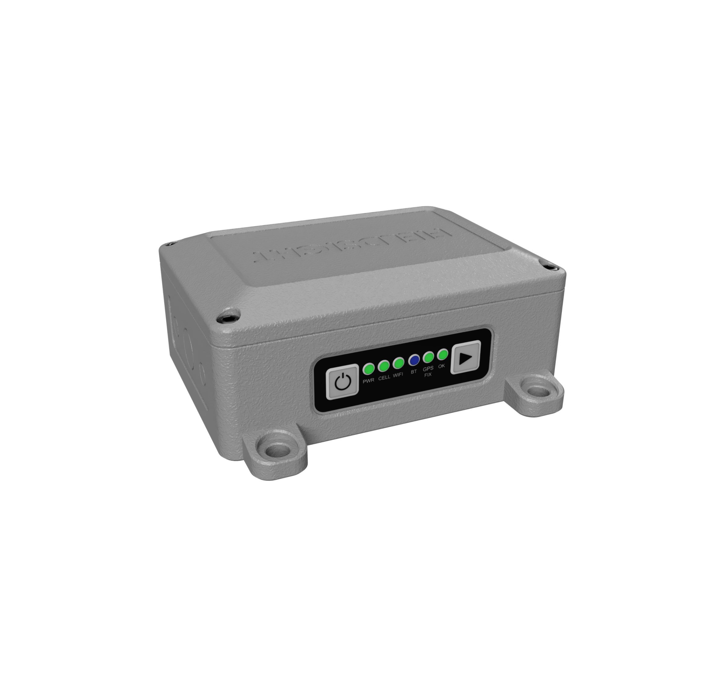
With RTK GW you can execute mapping directly from excavator cockpit integrating to machine automation joysticks. Also product provides cm positioning for moving machines when required such as rail maintenance equipment.

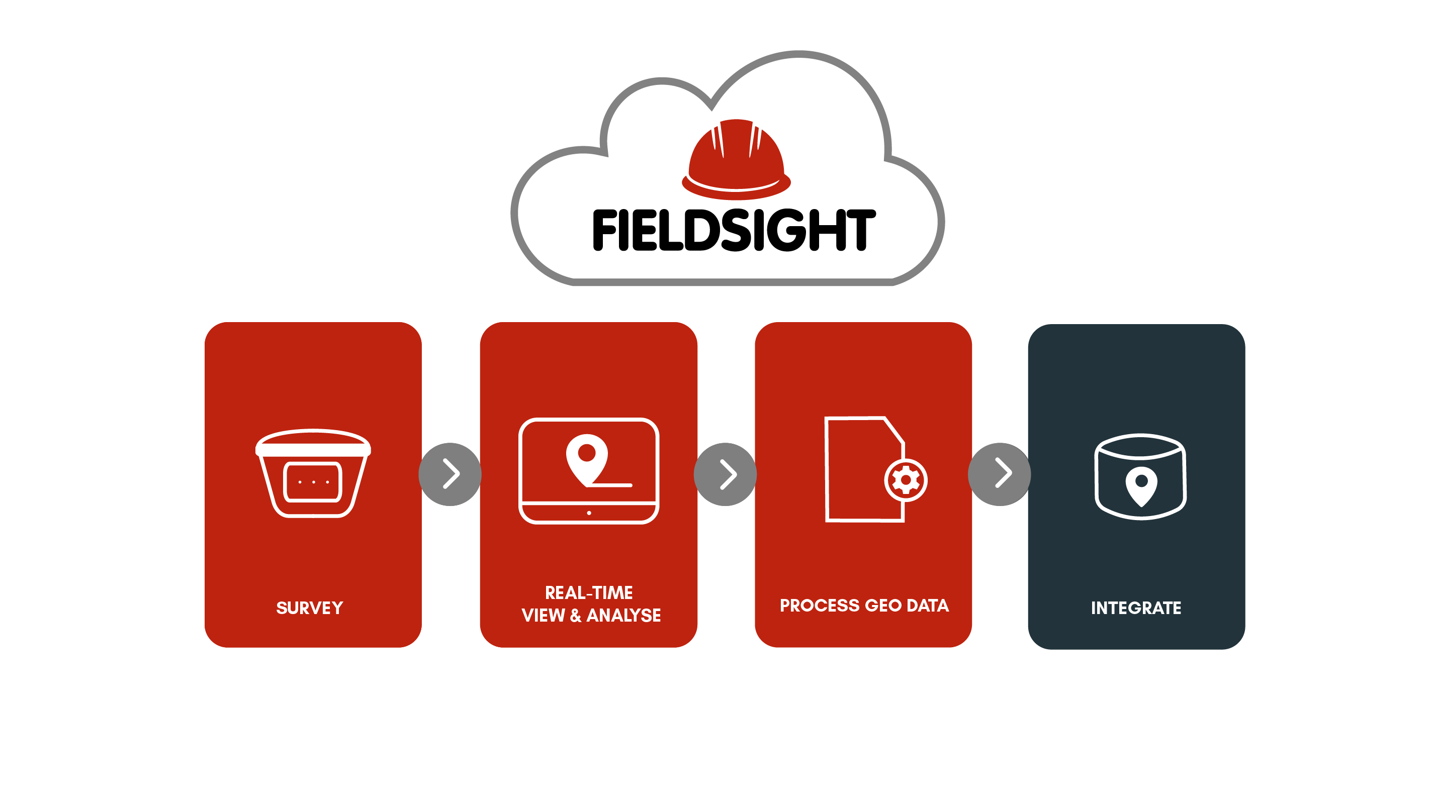
Fieldsight® RTK Receivers offer a comprehensive solution that encompasses measurement equipment, real-time monitoring, and data processing. This system is specifically designed for documenting network construction, ensuring quality assurance, enhancing occupational safety, and improving processes across the supply chain. By utilizing this solution, stakeholders can realize substantial cost savings.
The product supports traditional point and line measurements, where the cable type and protection class are easily assigned to the measurement point.
A cable radar can be integrated into the device, supporting, for example, the Radio Detection RD 8100 cable radar.
The solution supports efficient cable laying for electrical and fiber-optic cables using a cable plow.
Documentation is carried out automatically in real time, not only with location data but also with 360° photos of the site.
Fieldsight® products transmit location data in real time to the Fieldsight® GIS platform, where you can easily see the route, property boundaries, implementation, and deviations from the route plan.
With the Fieldsight® solution, the number of construction errors decreases, and the delivery of the network to the customer is significantly accelerated, improving the overall efficiency of the construction process.
Fieldsight® enhances the documentation and quality of network information, fulfilling the TRAFICOM MPS 71 requirement. Quality assurance, documentation, and monitoring of work progress are accomplished in real time—digitally. Fieldsight documents geo-information in real time to the company’s network database. Ensure a high-quality work record, accelerate the implementation of the network, and avoid extensive follow-up inspections.
With Fieldsight®, network construction speeds up by 30%, and project management is 25% more efficient.
Real-time monitoring of work quality and field processes, along with automatic documentation, accelerate the overall process and ensure a high-quality outcome. Fieldsight® automatically delivers the necessary information directly to the network owner’s interface. With Fieldsight®, you stay informed about deviations from the plan, property boundaries, and the installation depth of underground cables. With real-time quality control and automatic documentation, you can avoid follow-up measurements and manual handling of geo-information.
The initial investment with Fieldsight® is approximately €6,000 compared to a normal equipment investment of €27,000.
Fieldsight® is an easy-to-use digital measuring and documentation tool optimized for field personnel. Fieldsight® guides users in performing automatic quality control, taking into account measurement sample distances, navigation, property boundaries, and required protections. Ensure work quality in real-time with open ditch measurements and save time with automatic documentation. Our product is the only positioning solution that supports cable trenching, significantly accelerating the process.
The one-bundle STARTER package includes:
- Fieldsight® GEO
- Fieldsight® GEO depth handle
- Real-time monitoring interface
- Geo-stick
- RTK license
- Product portfolio
- Product support on weekdays
Pro package can include:
- 360° photos, processing, storage
- Satellite correction data (measurements without mobile network coverage)
- Enterprise dashboard
- GEO interface integrations
Fieldsight® GEO enables quality assurance in network construction through innovative methods, as real-time cable location and depth data can be measured from open trenches, meeting the precise requirements of Caruna and authorities (including Traficom).
This user-friendly product helps workers achieve better quality by allowing real-time documentation of work progress and content. The cost-effective and accurate solution enables significant improvement and acceleration of the overall process, resulting in cost savings throughout the supply chain.
Jukka Haakana – Quality Manager, Asset Management, Caruna