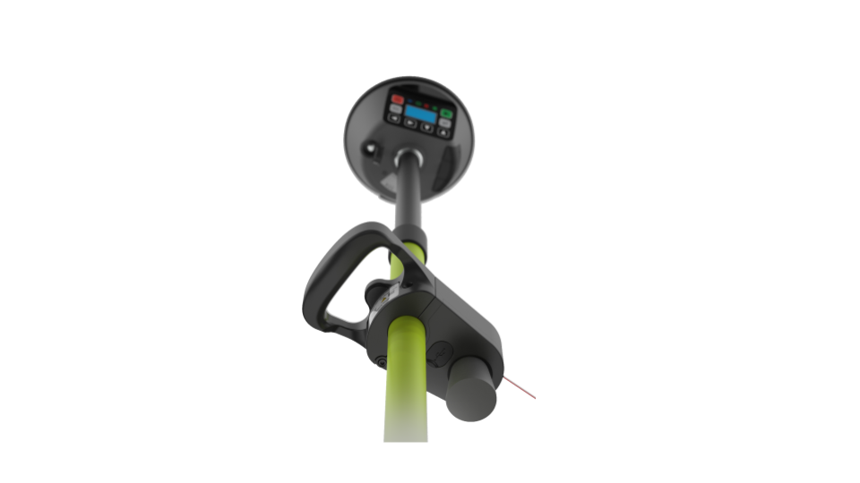
Nowadays, cable-trenching and network planning are still a long and inefficient process for many network owners, primary contractors/systems integrators, and land constructors. They need to arrange many cable surveys in the working site and copious manual steps to convert geodata into the desired format. Moreover, this is a blinded process; engineers and designers cannot achieve an adequate situational awareness of the ongoing situation in the field. Fieldsight GEO product, belonging to the RTK GNSS accuracy range (0-3 centimeter precision accuracy), brings a real-time view of the construction site progress, which can be monitored remotely using 360 degrees images.
 EFFICIENT AND STREAMLINED PROCESS FROM THE WORKING AREA TO THE CUSTOMER’S NETWORK DATABASE
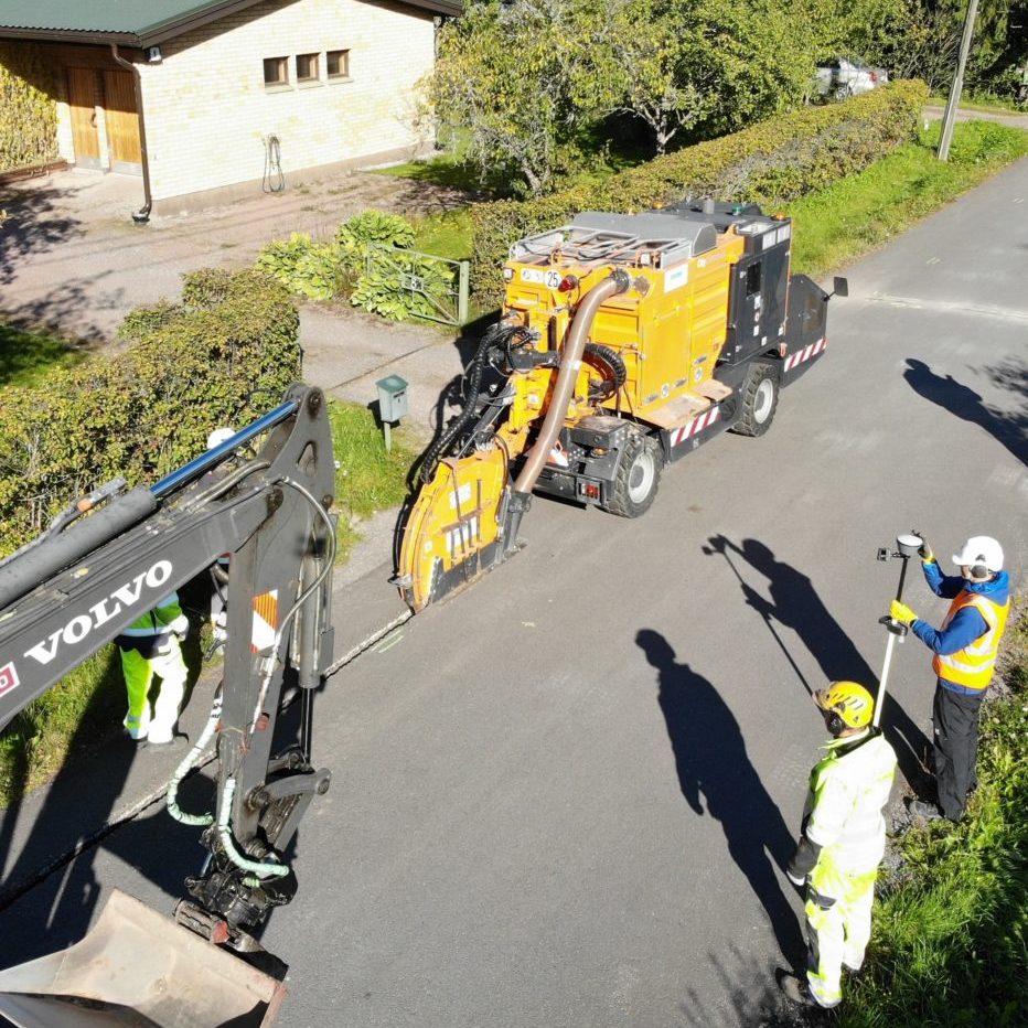
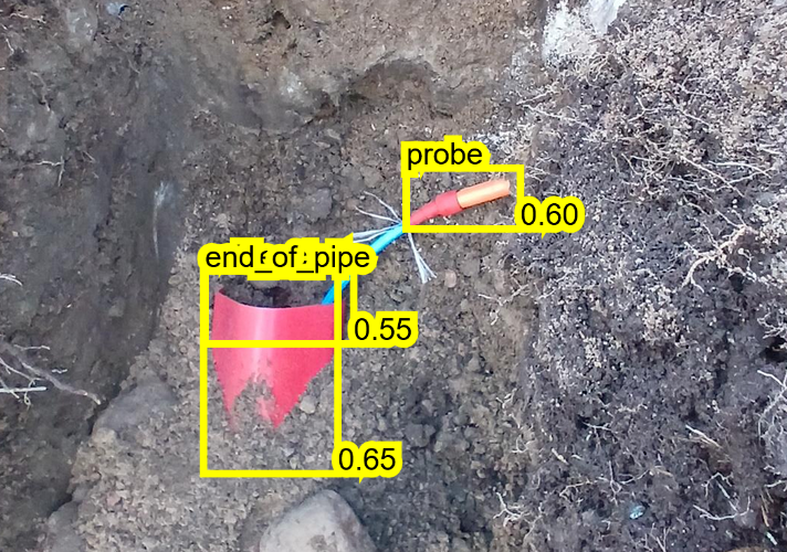
Fieldsight GEO remodels documenting positioning of electrical and telecommunications cables in underground contracting. This new method is more accurate and meets the requirements of 0-3 cm accuracy in all coordinates x,y, and z. Fieldsight GEO meets the demands of all national agencies created after the EU INSPIRE directive. Detailed maps and 360 degrees photos can integrate spatial measures, giving a real-time and complete picture of what is happening in the working area. The whole digital documentation flows through the API provided by Wizense directly to the customer systems. Fieldsight GEO is meant to be used by field workers during the construction phase from the open trench to achieve best possible cable location accuracy. Survey quality parameters requirements set by the network owner, are automatically monitored to avoid any parameter errors helping construction workers to make high quality digital documentation.
COST-SAVING & GREEN SOLUTION
Solution benefit impacts all the stakeholders that operate in the infrastructure construction chain. Network owners, primary contractors/systems integrators, and land constructors can get well-structured information in real-time from the field. In this way, they can reduce the number of travels for surveys by better rescheduling or allocation of personnel resources and reducing CO2 emissions. Fieldsight GEO pursues high quality and accurate documentation, and the risks of margin loss for the stakeholders decrease since possible disputes with private landowners reduce, and checks survey accuracy post-inspection do not lead to negative surprises.
FASTER DELIVERY AND INVOICING
Fieldsight GEO improves the delivery time of network infrastructure on average by up to 20% more than a standard process (according to the Finnish market analysis). Once the digital documentation appears in the customer NIS database, the invoicing can be done immediately after reducing business risks.
WOULD YOU LIKE TO TRY OUT FIELDSIGHT SOLUTION?
Contact us for more information over the phone or using the contact form below!

