


")
")
")

")
")

Tilannekuva kentälle seuraavalle tasolle 360° kuvien avulla
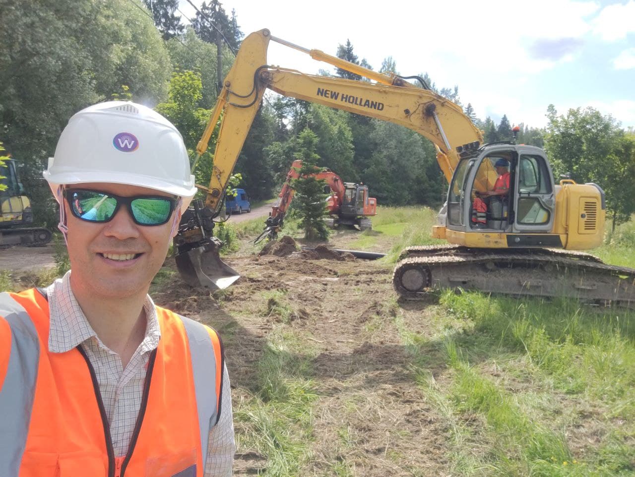
Fieldsight®-ratkaisun avulla saavutetaan lähes reaaliaikainen tilannekuva kentälle liiketoiminnan tueksi. Ratkaisun avulla voidaan välittää 360° tai 4k kuvamateriaalia käyttökohteesta, jolloin esimerkiksi rakentamisen laatuun liittyviin ongelmiin voidaan puuttua välittömästi työn aikana ja näin säästytään myöhemmiltä turhilta korjauskustannuksilta.
Avaa yläpuolen 360-kuva klikkaamalla kuvan “full screen” painiketta ja pyöritä kuvaa!
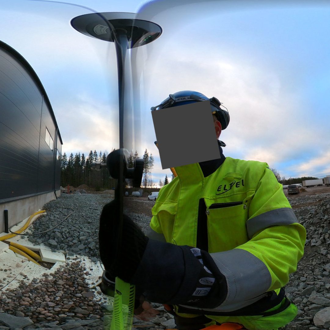
Esimerkkinä kuvassa Eltel Networksin jälkitutkaama sähkökaapeli verkonomistaja Carunan jakokaapille. Kuvan avulla työn laatua voidaan tarkistella matkaamatta työkohteelle. Fieldsight GEO -ratkaisun laaduntarkkailunäkyvä tuo, jokaisesta kuvasta esiin merkittävimmät mittausartibuutit, kuten Traficom M71 säädöksen mukaisen laskusyvyyden, suojausluokat ja mittaustarkkuudet. Laaduntarkkailijat voivat myös käyttää zoom-työkalua kuvan yksityiskohtien tarkisteluun.
Lisäksi GDPR-säädöksien mukaan kuville ajetaan ns. kasvojen blokkaus algoritmi, jolloin kuvista ei synny varsinaista ylläpidettävää erillistä rekisteriä.
Miksi 360° asteen kuvat?
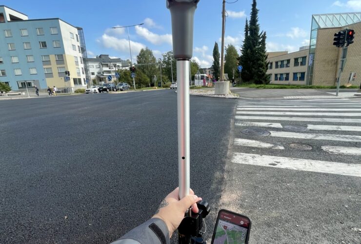
Kentältä Fieldsight GEO -ratkaisun avulla kentältä otetut reaaliaikaiset mittaukset sekä kuvamateriaali mahdollistaa merkittävän parannuksen rakentamisen laatuun. Tämän lisäksi mittausratkaisu valvoo työnaikaisia mittausparameterejä kuten kaapelin laskusyvyyttä, mittaustarkkuuksia, suojausluokkaa, näytteidenottoväliä ja mittapisteiden etäisyyttä kaapelin reittisuunnitelmaan. Ratkaisu auttaa työntekijää tekemään parasta mahdollista laatua!
Ratkaisun etuja mm.
- Korkeampi rakentamisen laatu
- Korkea dokumentoinnin laatu
- Reaaliaikainen projektin seuranta projektipäälliköille sekä maaurakoitsijalle
- Läpinäkyvä dokumentointi läpi toimitusketjun maaurakoitsija-pääurakoitsija-verkonomistaja
- Työ saadaan sujuvasti kerralla kuntoon
- Nopeampi työn toimitus loppuasiakkaalle
- Huomattavasti vähemmän turhaa matkustusta työmaalle
- Edesauttaa asiakasyrityksiä pääsemään pienempiin CO2 päästötavoitteisiin
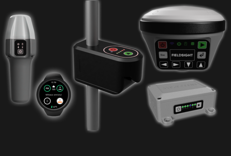
Fieldsight GEO
Fieldsight® GEO on kaapelinkartoitukseen erikoistunut ratkaisu, joka sisältää eri mittalaitteita sekä reaaliaikakäyttöliittymän. Ratkaisun avulla verkonrakentaja pystyy digitalisoimaan kokonaisprosessin aina suunnittelusta, kartoituksesta, jälkimittaukseen, dokumentointiin ja projektinseurantaan. Ratkaisu tarjotaan helppona kuukausittain laskutettavana palveluna. Laite tukee mm. integrointia kaapelitutkiin ja verkonomistajan rajapintoihin.
Ratkaisun täyttää mm. Traficom M71 -raportointivaateen (mm. kaapelin tarkka paikkatieto, laskusyvyys ja suojausluokka jne) ja sen mittaustarkkuus yltää aina 1cm tasolle asti.

HALUATKO KOKEILLA FIELDSIGHT-RATKAISUA?
Ota yhteyttä meihin soittamalla tai käyttämällä hyväksi alla olevaa lomaketta!